This article is the latest in a series about computer models and their uses within the Puget Sound ecosystem. Today, we look at the Salish Sea Model, one of several models in the region helping to predict water circulation, water quality and food-web relationships. Read the full series: Where and how the water moves The […]
December 17, 2021
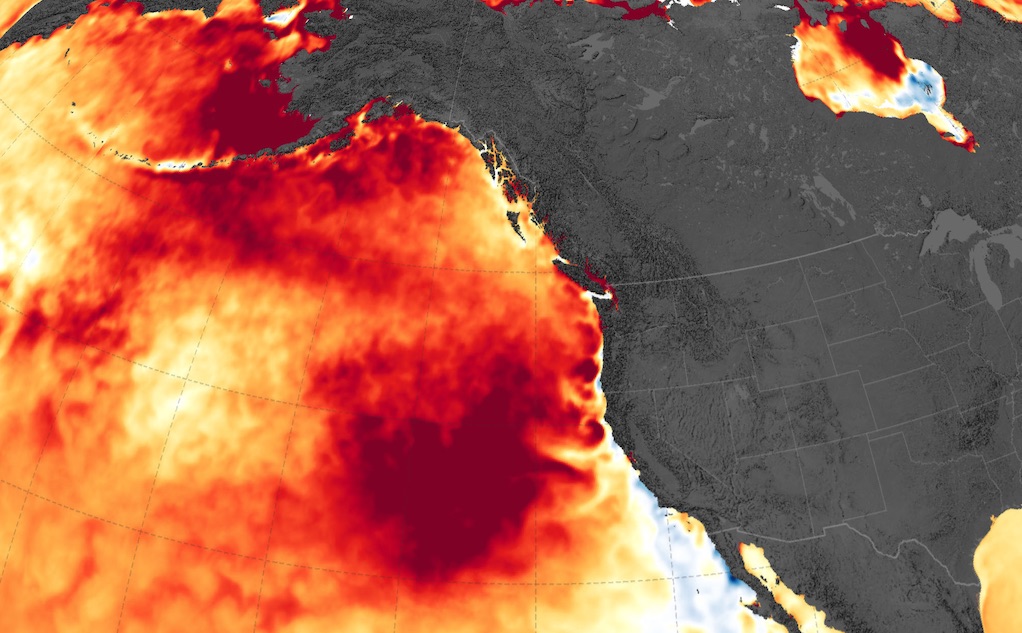
Modeling “the blob” in the Salish Sea
In late 2013, a marine heatwave that scientists dubbed “the blob” began warming the ocean throughout the Northeast Pacific, causing temperatures to rise almost 3°C above normal. The disruption severely depressed salmon returns. Whales, sea lions and seabirds starved, and warm water creatures were suddenly being spotted off the coast of Alaska. In Puget Sound, temperatures also jumped, but the effects of the blob […]
June 29, 2020
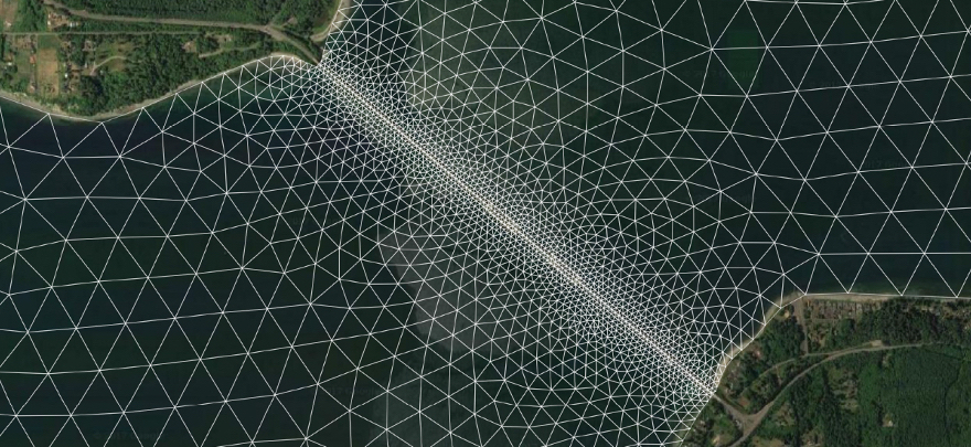
PSI launches Salish Sea Modeling Center
The Puget Sound Institute is launching a new program that will use supercomputers to advance ecosystem recovery of the Salish Sea. The Salish Sea Modeling Center will allow scientists from around the region to access sophisticated computer models to predict changes in the ecosystem. Work at the center will tackle vexing environmental problems such as […]