The environmental effects of sea level rise due to climate change are just starting to become clear. So far, much of the conversation has focused on population displacement and changes to natural features and processes.
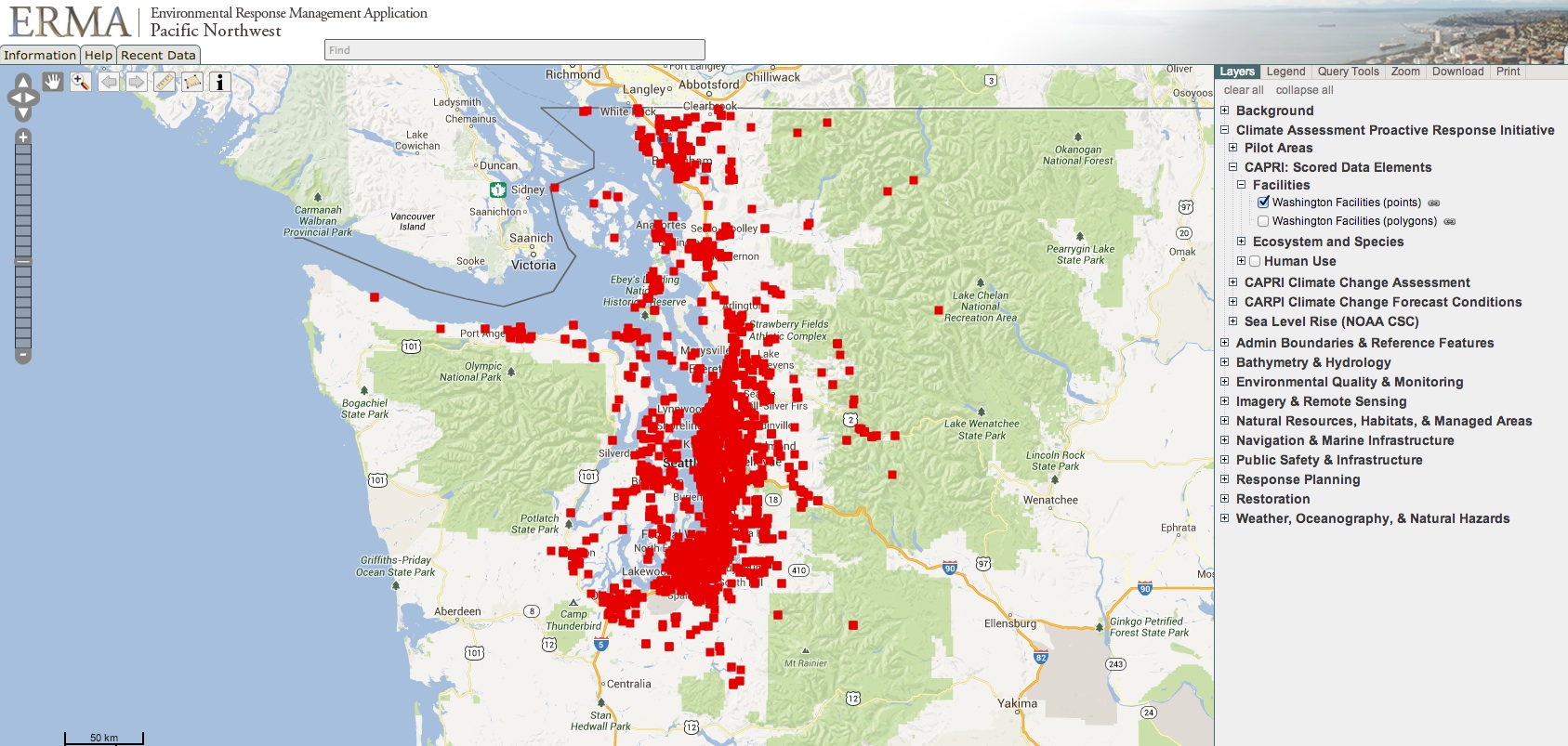
Now there is another front. NOAA’s Climate Assessment and Proactive Response Initiative (CAPRI) has been identifying sites along the shores of Puget Sound that may release toxic pollution if covered by rising waters. Flooding and storm surge could leach existing toxics from contaminated sediments, or overcome chemical and oil storage facilities. In this sense, sea level rise is the equivalent of a toxic spill in slow motion. It may take fifty or a hundred years for this “spill” to occur, but the potential impacts are huge.
CAPRI is looking in particular at four NOAA priority areas with “port and industrial complexes, significant natural resources, and restoration opportunities.” These include Commencement Bay, the lower Duwamish River, Nisqually Estuary/Port of Olympia, and Snohomish Estuary. Puget Sound is a pilot area, and the project may expand to the rest of the Pacific Northwest.
You can view an interactive map of study sites on NOAA’s ERMA mapping system (ERMA is a product of NOAA’s Office of Response and Restoration, one of our collaborative partners), which is also featured on PSI’s Encyclopedia of Puget Sound. Data in ERMA is further available for a wide range of other climate impacts, such as habitat change and wetland loss.
Read a draft white paper outlining the CAPRI project’s concept, and its goals and objectives.